
Building on the Gold Coast, Cape Coral
Updated: 3 days ago
Two different places in Cape Coral answer to the name Gold Coast, and they are not the same place. One is a market district covering several platting units and several named neighbourhoods. The other is a single subdivision inside it. Listings, brokerage pages and casual conversation use the two interchangeably, and a buyer reading them side by side would be forgiven for thinking there is one boundary and one price.
There isn't. And the name is the least reliable thing about any lot here. What follows is what each term actually covers, who says so, and the one correction that matters more than the rest of it put together: on the Gold Coast, no bridges does not mean no bridges between you and the Gulf of Mexico.
What people mean by “the Gold Coast”
It is a market term, not a legal one. There is no Gold Coast plat, no boundary ordinance and no association governing it. The most consistent definition in local use comes from brokerage guides, which put it as the area between Del Prado Boulevard and the Caloosahatchee River in southeast Cape Coral, between the Cape Coral Bridge and the Midpoint Bridge — covering platting units 7, 11, 12, 19 and 20.
Inside that area sit several neighbourhoods that also have their own names and their own reputations: Palaco Grande, Beach Parkway, Everest, Orchid Boulevard, and two we have written about separately — Savona, which is direct sailboat access throughout on oversized canals, and Cornwallis, which sits on the Caloosahatchee itself. Those two are inside the Gold Coast, and they do not price alike.
So “the Gold Coast” is a district, and a wide one. Treat a Gold Coast label the way you would treat “waterfront”: as an invitation to ask which part.
What “Gold Coast Estates” covers
Gold Coast Estates is narrower — a subdivision off Everest Parkway, east of Del Prado Boulevard, initially built in the late 1970s, with a mix of original homes and newer luxury replacements. Many of its lots are on Gulf-access canals running to the Caloosahatchee. Horton Park, the city's saltwater boat launch, sits just to the east at 2628 SE 26th Place.
How loosely the name travels is easy to demonstrate. One brokerage's Gold Coast Estates page describes the neighbourhood as being in southwest Cape Coral, while its own text places it east of Del Prado off Everest Parkway — which is the southeast. The same site's Everest page gets it right: “southeast Cape Coral off Del Prado Boulevard between Veteran's Parkway and Cornwallis Parkway.” That is not a scandal. It is a demonstration that the neighbourhood name is doing no work, and that the parcel is the only thing worth checking.
The correction: “no bridges” is a claim about your canal, not about your route
This is where the Gold Coast gets misdescribed most often, and it is worth being exact about because it is the single most valuable phrase in this market. A local Gold Coast guide describes one of its neighbourhoods as having “no locks or bridges, only direct boating access from your home to the Gulf of Mexico.” The first half of that is a reasonable description of the canal system. The second half is not accurate about the route.
Look at where the district sits. The Gold Coast is defined as being between the Cape Coral Bridge and the Midpoint Bridge. The Midpoint Memorial Bridge opened just north of the Cape Coral Bridge, which makes the Cape Coral Bridge the downstream one — the one standing between the district and San Carlos Bay.
So a Gold Coast dock with no fixed bridge on its canal does buy you an unobstructed run to the Caloosahatchee. It does not buy you an unobstructed run to open water. Heading downriver you meet the Cape Coral Bridge, which Lee County's own project material puts at a vertical clearance of 55 feet at the centre and a horizontal clearance of 90 feet. Leaving San Carlos Bay for the Gulf, you meet the Sanibel Causeway, where the “A” span over the main navigation channel is charted at 70 feet and the “C” span at 26 feet. The Midpoint Memorial Bridge, upriver, is also a fixed span with clearance below 55 feet.
And those numbers are ceilings, not promises. NOAA's Coast Pilot states that vertical clearances of bridges and overhead cables are given “in feet above mean high water unless otherwise stated,” and that when the water is higher than the datum the charted clearances “should be reduced accordingly.” If you are running a mast, the number that matters is the one at the moment you transit. How to check clearance and depth for a specific address is a separate exercise, and it is the one we would do before anyone signed anything.
How far is it, actually
Two things are true at once here, and running them together is how buyers end up surprised. A Gold Coast dock genuinely is a short run to the river — that is the district's real advantage and the reason its lots carry a premium. But the river is not open water. The City of Cape Coral's own park page puts Horton Park, which is inside this district, at approximately 10.9 statute miles from the Sanibel Causeway Bridge.
Eleven miles is not a long day on a boat. It is also not the five minutes that “direct Gulf access” suggests to someone reading listings from out of state. Both facts belong in the same sentence, and almost nobody writing about this market puts them there.
The Cape Coral Bridge replacement, for people who boat under it
The bridge that governs the Gold Coast's outbound route is being replaced. Lee County's project material states that construction is planned to begin in 2026, puts the total cost at an estimated $185 million, and says four lanes of traffic will be open throughout construction. For a boat owner, though, the operative sentence is a different one: the project “is not anticipated to alter the current clearance.”
That is the answer to the question a Gold Coast buyer is actually asking. The corridor work will change the drive. On current published information it is not expected to change what fits underneath.
Canal width is the price lever, and nobody publishes the numbers
Width is what separates two Gold Coast lots that read identically in a listing. It decides turning room for a larger boat, where a dock and lift can go, how far it is to the house opposite, and what the view is worth. One local agent guide describes Gold Coast Estates canals as “some over 100 feet.” That is the most specific published figure we could find for this district, and it comes from a real-estate blog rather than from the city.
The same is true of the constraint on the other side of the ledger. The most-cited local figures for Cape Coral's canal bridges come from an agent team, which describes clearances as “roughly 6 to 10 feet above mean high water,” puts “nearly half of the canal bridges in the city's inventory” under eight feet, and gives a city maximum around twelve. Attributed, those are useful. Asserted, they are not — and the city does not publish a table you can check them against. The access hierarchy behind all of this — freshwater, Gulf access, bridged, direct, sailboat — is where the vocabulary gets settled.
On price, the honest position is that the samples are too thin to call a market. On 7 September 2026, one brokerage's Gold Coast Estates page showed four active listings at a median list price of about $1.56 million, while its Everest page — the adjacent neighbourhood, same district — showed sixteen at about $709,000. Four listings is not a market and neither is sixteen. What the spread does show is the point of this page: the district name is not the price.
What building on a Gold Coast lot actually involves
Most of these lots are not raw. The district was platted and largely built out from the late 1960s through the 1970s, which means a lot you buy here usually arrives with a house on it, a seawall of unknown age, and a dock built to whatever the rules were at the time. That changes the work in specific ways. It also means the orientation is largely inherited rather than chosen, which is a design problem of its own.
The seawall is the item that most often moves a budget. Local replacement figures quoted by agents run “$650 to $900 per linear foot” — again attributed, not asserted — and on a wide-canal lot that is a large number attached to a length you can measure before you buy. Have it assessed rather than assumed.
Utilities are usually a settled question here, unlike the north Cape, but “usually” is not “confirmed.” The city's current utilities extension project areas are all in the north — North 2 complete, North 1 East and North 1 West in construction, North 3 in design, North 5 and North 6 in study. Confirm your specific parcel with the city rather than inferring it from the neighbourhood.
And “no HOA” is a property fact, not a neighbourhood fact. Much of this part of the Cape is genuinely unassociated, which is a real part of the appeal for a custom build — no architectural review committee deciding your roofline. Verify it against the deed and the plat for your parcel anyway. The full pre-build checklist for a Cape Coral lot covers the survey, the burrowing owl affidavit, the impervious surface calculation and the rest of what the city will ask for.
Questions buyers actually ask about the Gold Coast
Where is the Gold Coast in Cape Coral?
Southeast Cape Coral, between Del Prado Boulevard and the Caloosahatchee River, and between the Cape Coral Bridge and the Midpoint Bridge. In local use it covers platting units 7, 11, 12, 19 and 20, and includes Palaco Grande, Savona, Beach Parkway, Everest, Orchid Boulevard and Cornwallis. It is a market term rather than a legal boundary.
Is Gold Coast Estates the same as the Gold Coast?
No. Gold Coast Estates is one subdivision off Everest Parkway, east of Del Prado, built from the late 1970s. The Gold Coast is the wider district it sits in. The names are used interchangeably in listings, and they should not be.
Does the Gold Coast have sailboat access?
Parts of it do and parts of it don't, and the answer is decided lot by lot rather than neighbourhood by neighbourhood. Savona is described locally as direct sailboat access throughout; other pockets in the district have fixed canal bridges on the outbound route. Never take it from the listing — check the route for the specific address.
Can my boat get to the Gulf from the Gold Coast without going under a bridge?
No. Even from a lot with no fixed bridge on its own canal, the run downriver passes under the Cape Coral Bridge, charted at 55 feet at the centre, and leaving San Carlos Bay for the Gulf means the Sanibel Causeway — 70 feet at the “A” span, 26 at the “C” span. “No bridges” in this market means no bridge between your dock and the river. It has never meant no bridge between your dock and the Gulf.
How far is the Gold Coast from the Gulf?
The city puts Horton Park, inside the district, at approximately 10.9 statute miles from the Sanibel Causeway Bridge. The run to the Caloosahatchee itself is a few minutes; the run to open water is not.
Can you see the Gulf from the Gold Coast?
No. Cape Coral has no Gulf frontage anywhere — it is a peninsula bounded by the Caloosahatchee estuary and Matlacha Pass, with the Gulf beyond. What the Gold Coast has, on its best lots, is open water across the Caloosahatchee toward Fort Myers, and wide intersecting canal views. What Cape Coral waterfront actually is goes through the terminology in full.
Is there an HOA in Gold Coast Estates?
Much of this part of the Cape is unassociated, which is part of why it suits a custom build. But association status attaches to a parcel through its deed and plat, not to a neighbourhood name. Confirm it for the lot you are buying.
Building here
The Gold Coast is one of the few parts of Cape Coral where the land, the water and the position are all already settled — which means the questions that remain are construction questions. What the seawall can carry. Where the dock and lift can sit on that canal width. What clearance the boat you actually own needs, at the tide you actually run. How the house sits on a lot that faces the water the way it does.
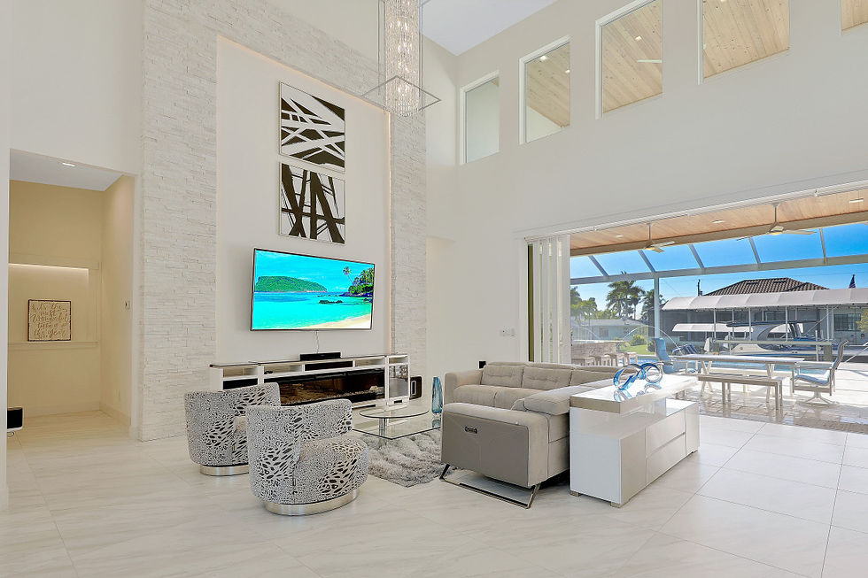
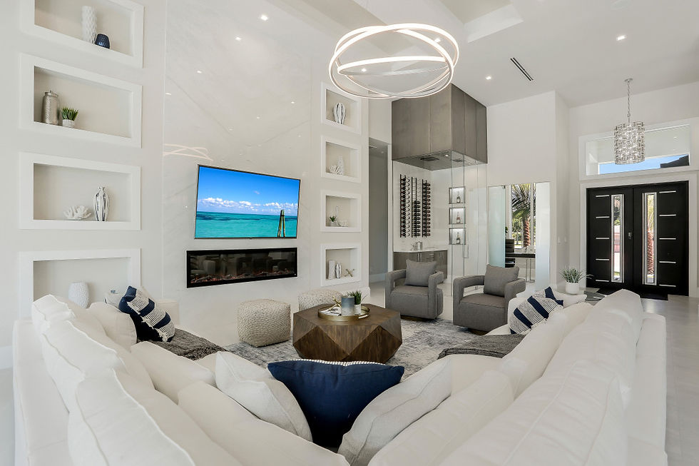
We build custom homes in Cape Coral and across Lee County, most of them on the water, and we look at those questions with clients before a lot is bought rather than after. If you are weighing a Gold Coast parcel, the wider waterfront picture and riverfront on the Caloosahatchee are the two pages worth reading next. Photographs of finished Lux homes are in the photo gallery.

Comments